by Turo
posted on January 8, 2026
The Toronto to Victoria drive is a true cross-country adventure, stretching from dense city streets and open prairie highways into the mountains and coastal rainforests of beautiful British Columbia. This road trip guide breaks down what to expect on the road, where to stop, and how to shape the trip into whatever you want it to be!
In this guide, we’ll be covering:
- Tips for driving from Toronto to Victoria
- How are the road conditions between Toronto and Victoria?
- What is the best time of year to drive from Toronto to Victoria, BC?
- Are there EV chargers along the way between Toronto and Victoria?
- Where to stop while driving from Toronto to Victoria, British Columbia
- Frequently asked questions about the Toronto to Victoria road trip
- Book your rental car in Toronto with Turo

Tips for driving from Toronto to Victoria
Driving from Toronto to Victoria covers roughly 4,500 kilometres and takes about 45 to 50 hours behind the wheel, not including longer stops. Most travellers spread the trip across seven to ten days. Plan your overnight stops ahead of time, fuel up before remote stretches, and give yourself time for some rest days along the way.
How are the road conditions between Toronto and Victoria?
Road conditions are generally dependable. Northern Ontario includes narrower sections and frequent wildlife crossings, while the Prairies are open and exposed to wind. Mountain highways in Alberta and British Columbia can change quickly with the weather.
What is the best time of year to drive from Toronto to Victoria, BC?
Late spring through early fall offers the most consistent conditions. Summer brings long daylight hours and clear mountain passes, while September adds cooler air, lighter traffic, and beautiful fall colours. Winter travel is possible, but can be much more challenging.

Are there EV chargers along the way between Toronto and Victoria?
Major highways across Ontario, the Prairies, and British Columbia are well covered with fast chargers in cities, larger towns, and highway service centres. Northern Ontario requires a bit more planning due to longer distances between stops, but if you’re interested in driving an EV, a little planning will keep things rolling smoothly.
Where to stop while driving from Toronto to Victoria, British Columbia
Driving from Toronto to Victoria takes you across nearly the full breadth of our beautiful country. It’s a true Canadian bucket list road trip, and choosing the right stops can turn it into an adventure you’ll never forget!
Sault Ste. Marie, Ontario
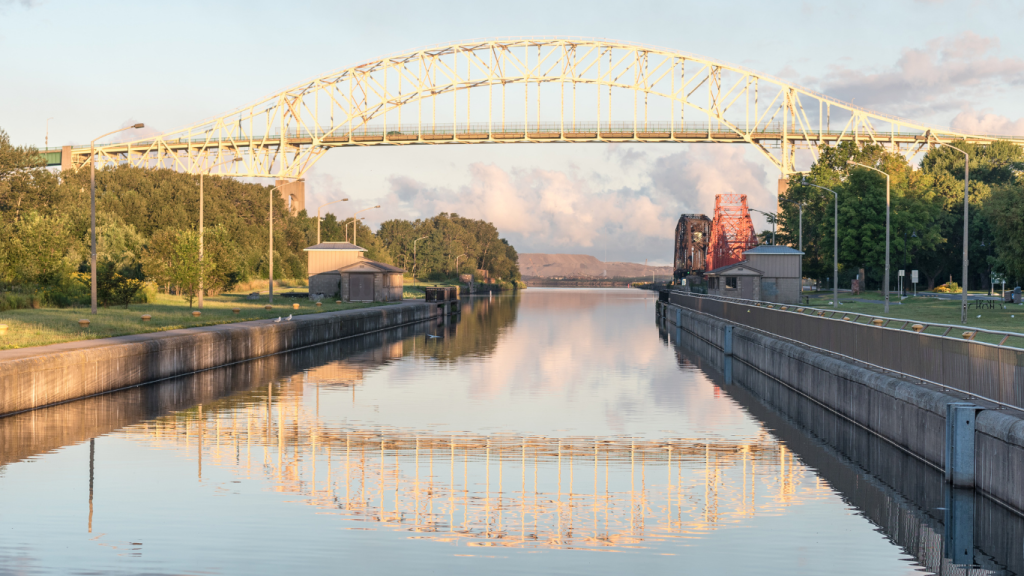
Sault Ste. Marie is the meeting point of Lake Huron and Lake Superior, where wide waterways, forested shorelines, and historic canals shape the city’s character. Boat traffic moves through the Soo Locks, trails follow the water’s edge, and the landscape starts to feel noticeably more rugged.
- Distance from Toronto: ~700 km (~8 hours)
- Distance to Victoria: ~3,800 km (~40 hours)
Why it’s great
The city has a pretty waterfront district to wander and easy access to food and lodging without making a major detour.
Practical tips
Fuel up before leaving the city and plan your next day early. Services thin out quickly once you head north along Lake Superior.
How to get there
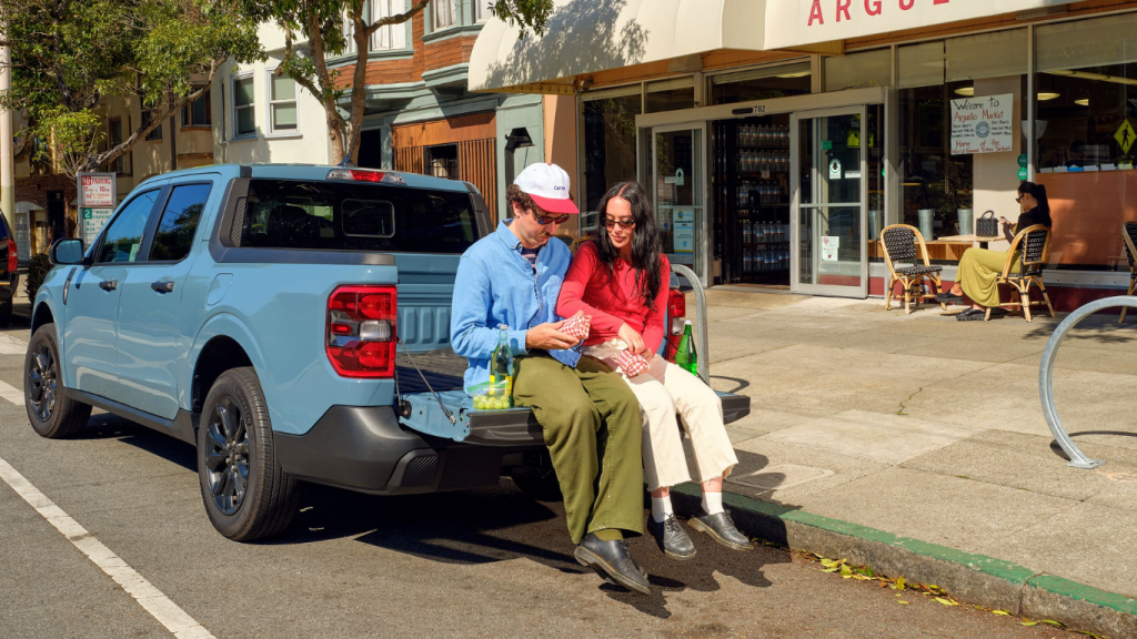
Take Highway 400 north from Toronto, then continue west on Highway 17 into Sault Ste. Marie. Picking up a Toronto airport car rental lets you head off right after baggage claim. This is a long stretch of driving, so a luxury car rental is a great choice. Options from BMW, Mercedes-Benz, or Porsche handle the distance smoothly and are super comfortable to sit in.
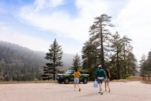
Sleeping Giant Provincial Park
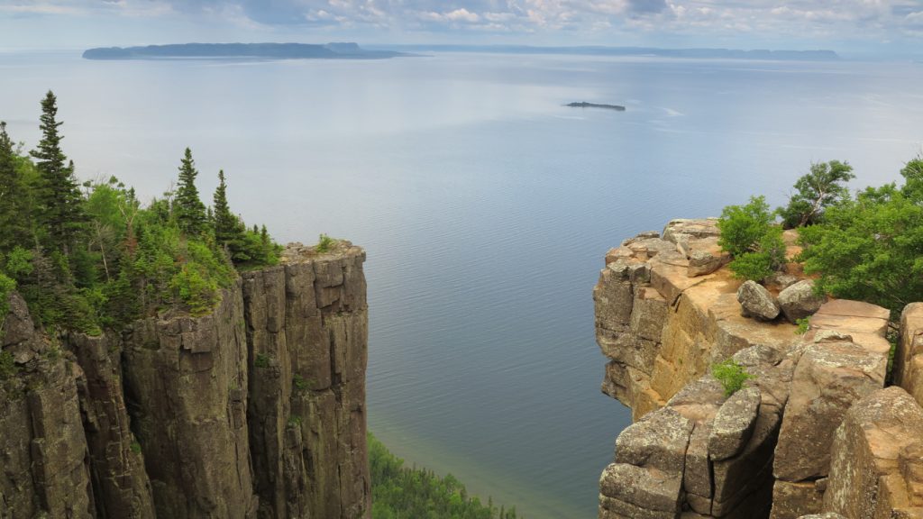
Rising above the north shore of Lake Superior, Sleeping Giant Provincial Park‘s massive cliffs, quiet bays, and forested trails stretch toward the horizon. You could explore for days, but even a short stop makes it clear why this is considered one of the best parks in Ontario.
- Distance from Toronto: ~1,400 km (~15–16 hours)
- Distance to Victoria: ~3,100 km (~33–35 hours)
Why it’s great
Everything is bigger here: deeper water, steeper rock faces, and a sense that you’re miles away from the road, even if your car is just out of sight.
Practical tips
Trailheads and viewpoints are spread out, and services are limited inside the park. Bring water, snacks, and offline maps, and plan your fuel stops before leaving Thunder Bay.
How to get there
Follow Highway 17 west along the Lake Superior shoreline to Thunder Bay, then continue east toward the park entrance. Road conditions can vary, but making your Toronto rental car an SUV or all-wheel drive vehicle gives you extra stability and space for gear. Models from Subaru or Toyota are perfect for some outdoor adventure!
Winnipeg, Manitoba
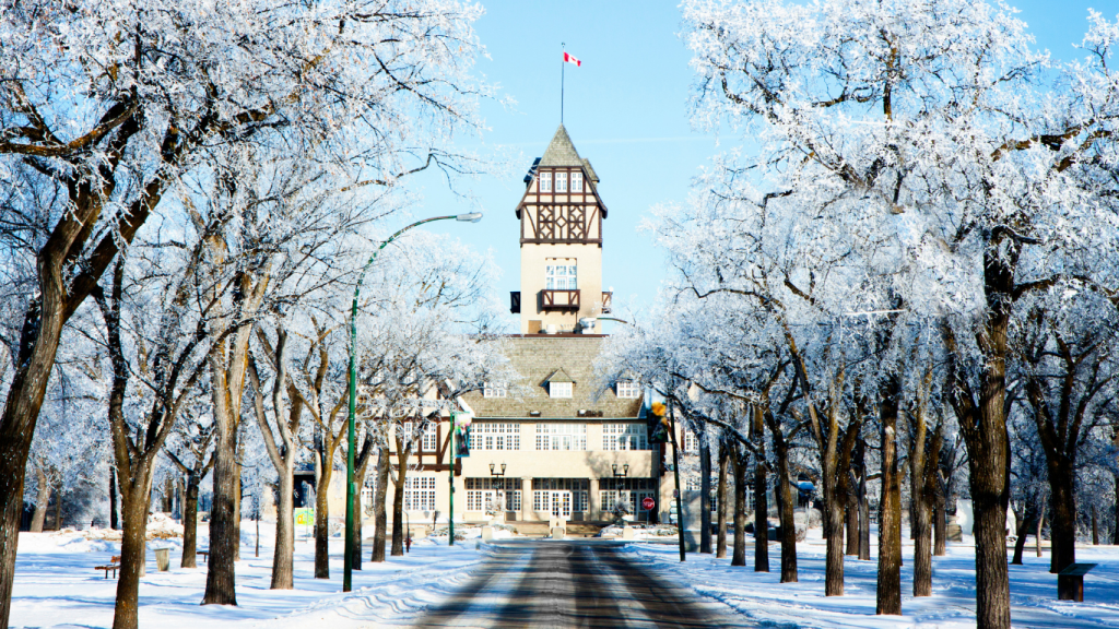
Winnipeg sits close to the exact center of the country. It’s the meeting point of rivers, rail lines, and prairie roads, with a cultural scene shaped by music, food, and history. After days of remote highways, the museums, neighbourhoods, and green spaces here are a refreshing change of pace.
- Distance from Toronto: ~2,300 km (~24–26 hours)
- Distance to Victoria: ~2,200 km (~23–25 hours)
Why it’s great
Winnipeg has plenty of character without the sprawl of other cities. You can explore on foot, grab a great meal, and reset before your drive toward the mountains.
Practical tips
Downtown traffic is manageable, but construction zones pop up seasonally. Stick to surface streets and plan parking near your accommodation to keep things simple.
How to get there
Continue west on the Trans-Canada Highway through northern Ontario and into Manitoba. Once you reach the city, tighter streets and frequent stops make a smaller vehicle easier to manage. A compact car rental, like sporty models from Nissan or Ford, makes city driving and tight parking a breeze.
Banff National Park, Alberta
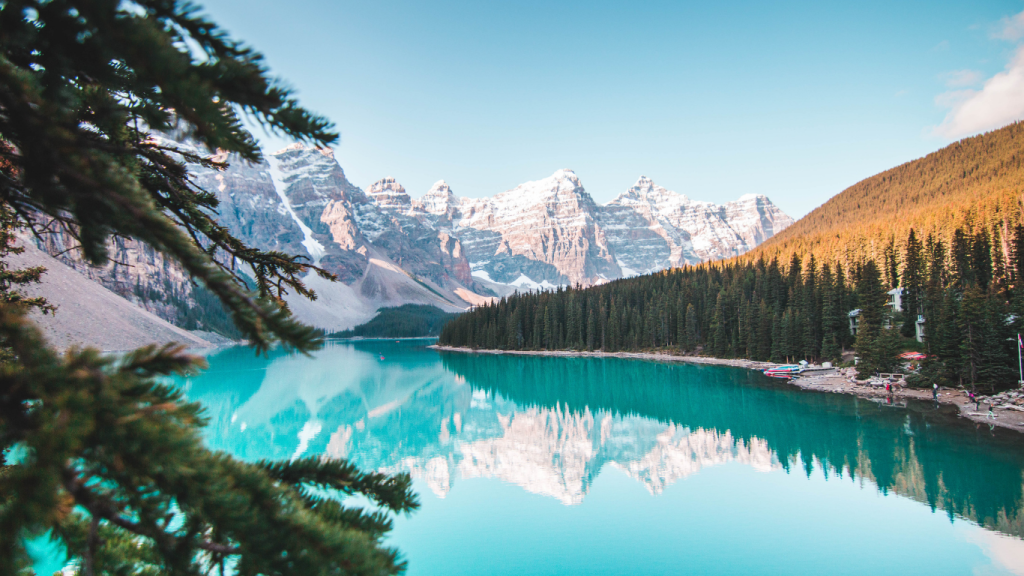
Banff National Park is considered one of the best National parks in Alberta and is one of the most famous in the world. And for good reason! You’ll feel flat highways give way to steep peaks, turquoise lakes, and mountain towns tucked into narrow valleys. It’s a stop that you cannot afford to miss.
- Distance from Toronto: ~3,400 km (~36–38 hours)
- Distance to Victoria: ~1,100 km (~12–14 hours)
Why it’s great
This is one of Canada’s most iconic places. Alpine lakes, glacier-fed rivers, and towering rock walls create a landscape that you simply can’t find anywhere else.
Practical tips
Parking fills quickly near popular lakes and trailheads, especially mid-day. Arrive early, watch for posted restrictions, and be prepared to park farther out and walk.
How to get there
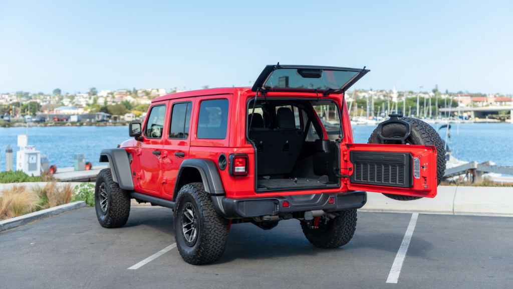
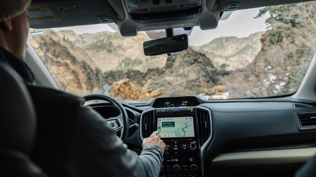
Follow the Trans-Canada Highway west from Calgary toward the Banff townsite. You’re going to want to be confident behind the wheel on steep, narrow roads and in changing weather. An SUV or pickup truck will give you the clearance and stability you need here. Look for rugged, capable models from Jeep, Ford or Toyota.
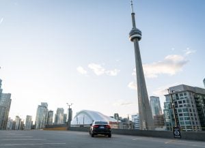
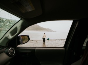
Vancouver, British Columbia
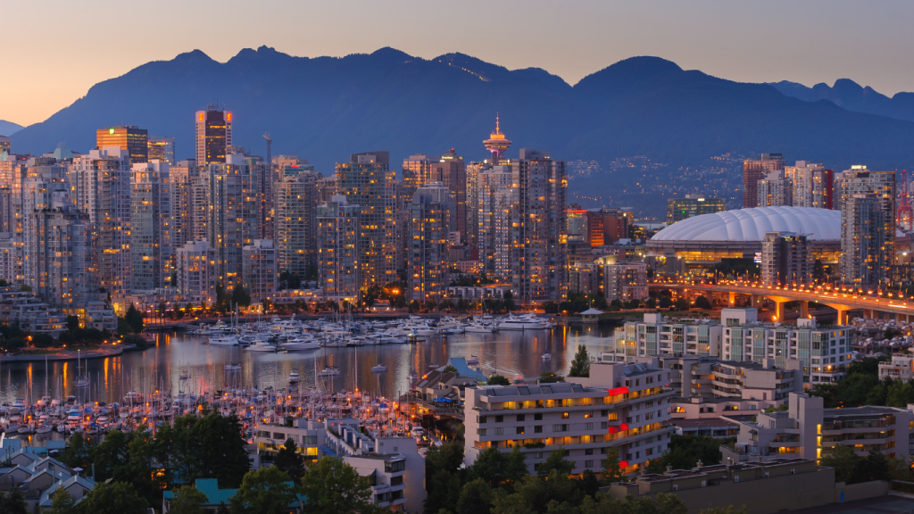
Follow the last leg of your drive to the Pacific Coast and Vancouver, BC. You’ll be catching your ferry to Victoria from one of the ports here, but give yourself a day or two to explore. See the sights and enjoy a meal at a world-class restaurant before taking the boat to Vancouver Island.
- Distance from Toronto: ~4,400 km (~46–48 hours)
- Distance to Victoria: ~100 km (~1.5 hours)
Why it’s great
Vancouver is a vibrant city where you’re always just steps away from stunning nature. You can walk seawalls in the morning, hike the mountains in the afternoon, and still wind down with cocktails before dinner.
Practical tips
Traffic builds quickly during peak hours, and downtown streets are busy. Plan sightseeing outside rush hour and choose parking garages near your destination.
How to get there
Stay on the Trans-Canada Highway; it carries you directly into the city. Vancouver’s dense charger network makes an electric vehicle an easy choice here. Tesla, Chevrolet, and Mercedes-Benz models fit great here, with fast chargers spread across the city and surrounding areas.
Frequently asked questions about the Toronto to Victoria road trip
Where is Victoria?
Victoria, BC, is on the southern tip of Vancouver Island, facing the Salish Sea and backed by forested hills and sheltered inlets. It’s the capital of British Columbia and one of Canada’s most walkable coastal cities.
Most visitors arrive through Victoria International Airport, located north of downtown, or by taking a ferry from the mainland. Book your Toronto or Victoria airport car rental with Turo, and you can head out on the open road as soon as you grab your bags!
How far is Victoria, BC, from Toronto?
Victoria is roughly 4,500 kilometres west of Toronto by road. You get a concrete sense of just how wide our country is, crossing Ontario, the Prairies, the Rockies, and British Columbia before reaching the coast.
How many days does it take to drive to BC from Toronto?
Most drivers plan seven to ten days to reach British Columbia from Toronto. That timeline allows for overnight stops, weather flexibility, and time to enjoy key destinations instead of pushing through long days.
Is it cheaper to drive or fly to Vancouver from Toronto?
Flying is usually faster and can be cheaper for solo travellers. Driving often makes more sense for groups, longer stays, or trips built around sightseeing.
Is the Toronto to Victoria drive worth it?
For travellers who enjoy the journey as much as the destination, this road trip is absolutely worth it. The drive showcases Canada’s full range of landscapes, from inland lakes to open plains to mountain passes and coastal cities.
Book your rental car in Toronto with Turo
Starting a cross-country drive takes planning. Turo makes getting the right vehicle to match your style simple, with flexible pickup locations, delivery options, and no rental counter to slow you down. Lock in your vehicle in Toronto, start on your schedule, and stay focused on the road ahead instead of the paperwork and headaches.
Feeling inspired? Pitch a Trip and let Turo sponsor your vehicle rental to turn this adventure into a reality! Whether you’re a storyteller, photographer, or just love to travel, this could be your chance to share your experience with the world.